| - |

Republic of Zambia is located in the south of the African continent, with a population of 13,817,479, making it the 70th
largest national population. Its capital and largest city is Lusaka with a total population of 3,100,000. The country
encompasses 752,618 square kilometers making it the 39th largest country in total area. It shares boundaries with
Democratic Republic of the Congo, Tanzania, Malawi, Mozambique, Zimbabwe, Botswana, Namibia and Angola.
President Michael Chilufya Sata is recognized as the Chief of State and Head of Government and, along with Vice President
Guy Scott, achieves that status through popular vote, holds that position for five years and is eligible for a second term.
Its form of government is a republic and they celebrate the creation of their constitution on 24th August 1991.
The languages commonly or officially spoken are English, Bemba, Kaonda, Lozi, Lunda, Luvale, Nyanja, Tonga and about
70 other indigenous languages. It counts among its major religions Christian, Muslim, Hindu and indigenous beliefs. As
sources of mass communication it has 19 AM, 5 FM, 4 Short Wave and 9 Television stations.
Major geographical features are an unnamed location in the Mafinga Hills, its highest point at 2,301 meters and the Zambezi
River, its lowest point at 329 meters. Its principal waterways are Lake Tanganyika and the Zambezi and Luapula rivers,
which measure 2,250 meters.
Major industries providing for the bulk of their Gross Domestic Product (GDP) are copper mining and processing,
construction, foodstuffs, beverages, chemicals, textiles, fertilizer and horticulture. Its official currency is Zambian Kwacha.
Here’s something you may not know about Zambia. The territory of Northern Rhodesia was administered by the British
South Africa Company from 1891 until it was taken over by the United Kingdom in 1923. During the 1920s and 1930s,
advances in mining spurred development and immigration. The name was changed to Zambia upon independence in 1964.
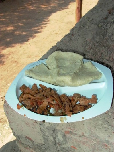
| Tradtional Zambian flat bread and meat |
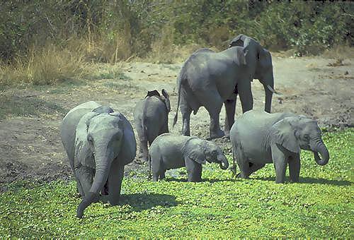
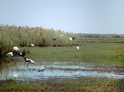
| Elephant family in the Bangweulu Swamp |
| Lake Bangweulu |
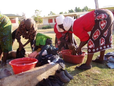
| Washerwomen in traditional clothing |
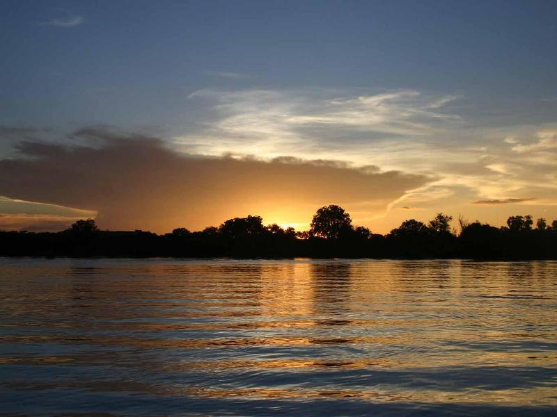
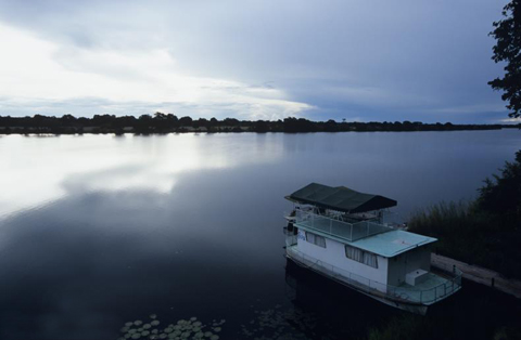
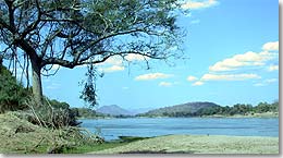
| Sunset on the Zambezi River- Zambia's lowest point |


| Abi's Home Page |
| Back to |
| NEWSPAPERS Zambia Daily Mail The Post Times of Zambia |
ZAMBIA
Updated 28 February 2013
Updated 28 February 2013


| Adult Prevalence Rate: People Living with HIV/AIDS: HIV/AIDS Deaths: |
13.5% (2009 est.)
980,000
45,000
980,000
45,000

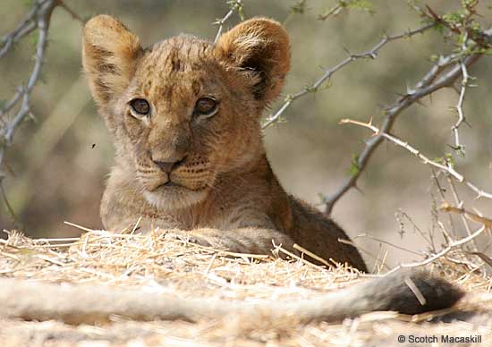
| Lion cub in Liuwa National Park |
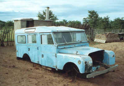
| Old Land Rover in Kabwe |
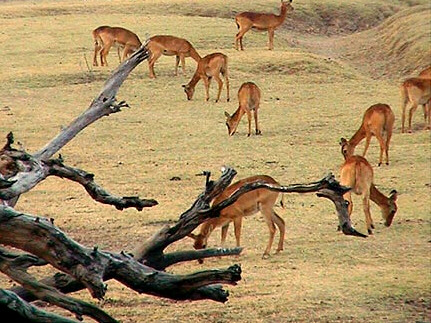
| Gazelles in Luangwa National Park |
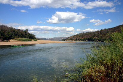
| Luangwa River |
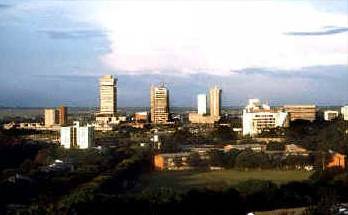
| Lusaka- Zambia's capital and largest city |

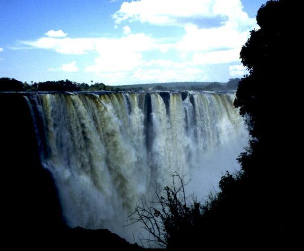
| Victoria Falls on the Zambia and Zimbabwe border and the southernmost point of Zambia |

| Mafinga Hills- Zambia's highest point |

| Chililabombwe Boma on Zambia's border with the Democratic Republic of the Congo |
| Kafue National Park |
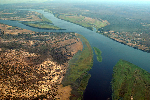
| Kazungula at the Zambezi River tri-border of Zambia, Botswana and Namibia |
| Luangwa Boma on Zambia's border with Mozambique |
| Lundazi Forest Reserve- Zambia's easternmost point on the border with Malawi |
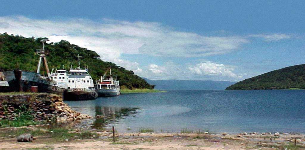
| Mpulungu on Lake Tanganyika- Zambia's northernmost point on the border with Tanzania |
| Sesheke on Zambia's border with Namibia |
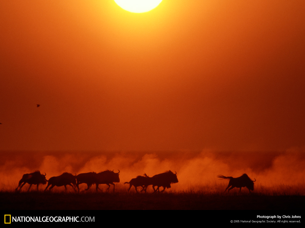
| Wildebeests in Liuwa Plain Park- Zambia's westernmost point on the border with Angola |
Read about human rights in Pax
Gaea World Post Report!
Gaea World Post Report!