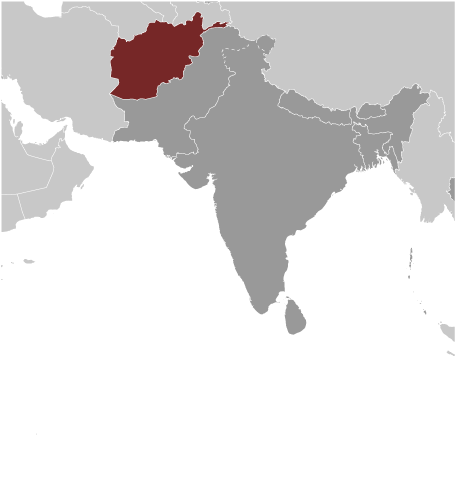
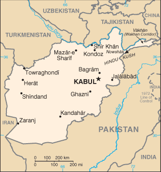
Islamic Republic of Afghanistan is located in the south of the Asian Continent, with a population of 30,419,928, making it
the 40th largest national population. Its capital and largest city is Kabul with a total population of 3,289,000. The country
encompasses 652,230 square kilometers making it the 41st largest country in total area. It shares boundaries with
Uzbekistan, Tajikistan, Pakistan, Iran and Turkmenistan.
President of the Islamic Republic of Afghanistan Hamid Karzai is recognized as the Chief of State and Head of Government
and, along with First Vice President Mohammad Qasim Fahim Khan and Second Vice President Abdul Karim Khalili,
achieves that status through direct vote and holds that position for five years. Its form of government is an Islamic
Republic, and they celebrate the creation of their constitution on 16th of January 2004.
The languages commonly or officially spoken are Afghan Persian (Dari), Pashtu, Uzbek, Turkmen, Balochi, Pashai and
much bilingualism. It counts among its major religions Sunni Muslim, Shi’a Muslim and other faiths. As sources of mass
communication it has 21 AM, 5 FM, 1 Short Wave and 7 Television stations.
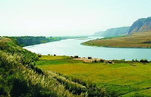
Major geographical features are Nowshak, its highest point at 7,485 meters, and Amu Darya, its lowest point at 258 meters.
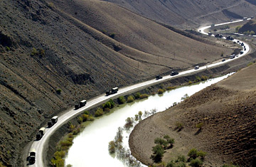
Its principal waterway is the Amu Darya, which measures 1,200 kilometers.
Major industries providing for the bulk of their Gross Domestic Product (GDP) are small-scale production of textiles, soap,
furniture, shoes, fertilizer, cement, hand-woven carpets, natural gas, coal and copper. Its official currency is the Afghani.
Here’s something you may not know about Afghanistan. When most of Afghanistan was controlled by the Taliban, in the
areas under Taliban rule, women and girls could not go to school, work outside their home or go out without a male
relative. The Taliban ruled over Afghanistan from 1996 until 2001.
the 40th largest national population. Its capital and largest city is Kabul with a total population of 3,289,000. The country
encompasses 652,230 square kilometers making it the 41st largest country in total area. It shares boundaries with
Uzbekistan, Tajikistan, Pakistan, Iran and Turkmenistan.
President of the Islamic Republic of Afghanistan Hamid Karzai is recognized as the Chief of State and Head of Government
and, along with First Vice President Mohammad Qasim Fahim Khan and Second Vice President Abdul Karim Khalili,
achieves that status through direct vote and holds that position for five years. Its form of government is an Islamic
Republic, and they celebrate the creation of their constitution on 16th of January 2004.
The languages commonly or officially spoken are Afghan Persian (Dari), Pashtu, Uzbek, Turkmen, Balochi, Pashai and
much bilingualism. It counts among its major religions Sunni Muslim, Shi’a Muslim and other faiths. As sources of mass
communication it has 21 AM, 5 FM, 1 Short Wave and 7 Television stations.
Major geographical features are Nowshak, its highest point at 7,485 meters, and Amu Darya, its lowest point at 258 meters.
Its principal waterway is the Amu Darya, which measures 1,200 kilometers.
Major industries providing for the bulk of their Gross Domestic Product (GDP) are small-scale production of textiles, soap,
furniture, shoes, fertilizer, cement, hand-woven carpets, natural gas, coal and copper. Its official currency is the Afghani.
Here’s something you may not know about Afghanistan. When most of Afghanistan was controlled by the Taliban, in the
areas under Taliban rule, women and girls could not go to school, work outside their home or go out without a male
relative. The Taliban ruled over Afghanistan from 1996 until 2001.
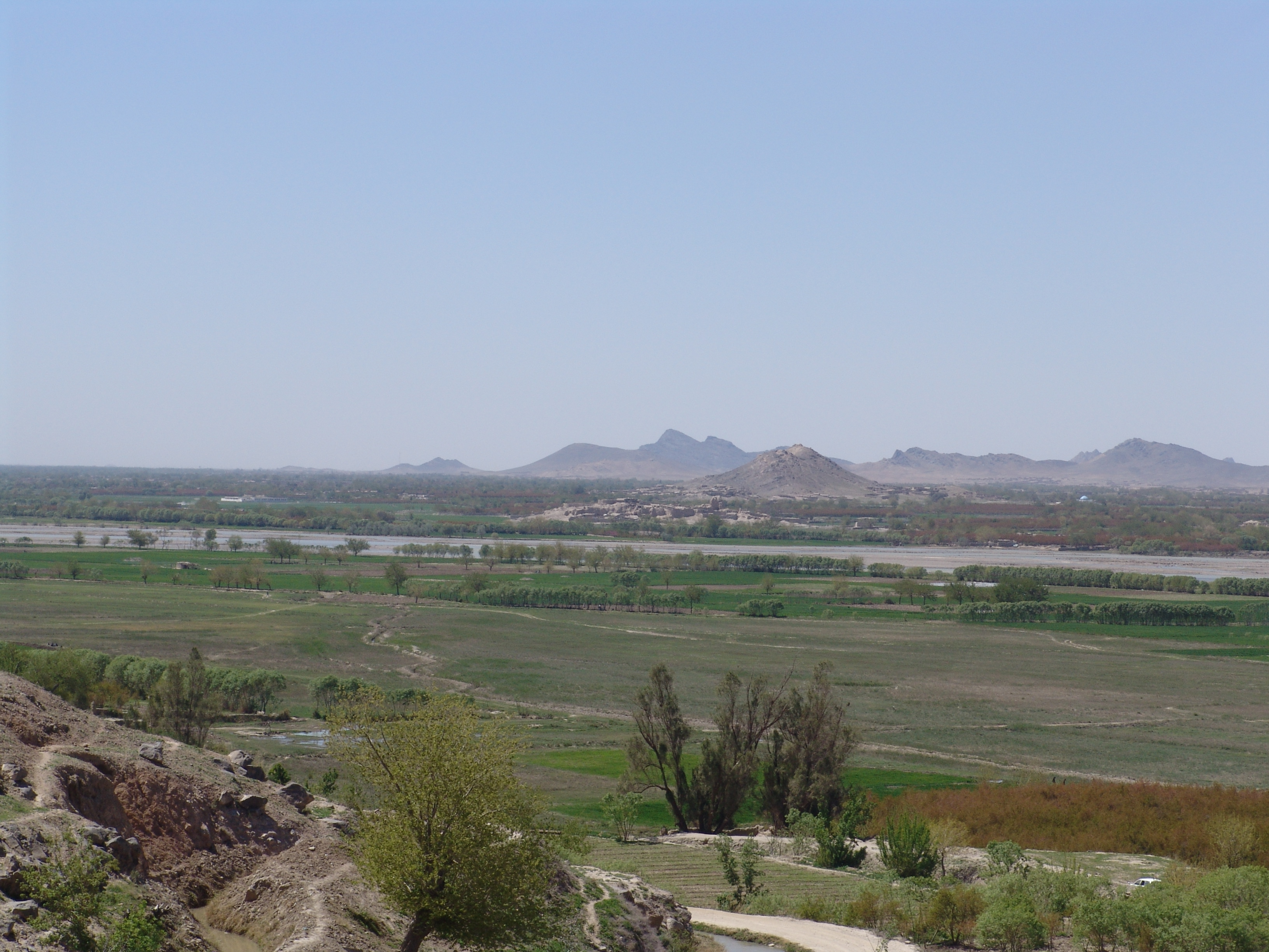
| Amu Darya River- Afghanistan's lowest point and waterway |
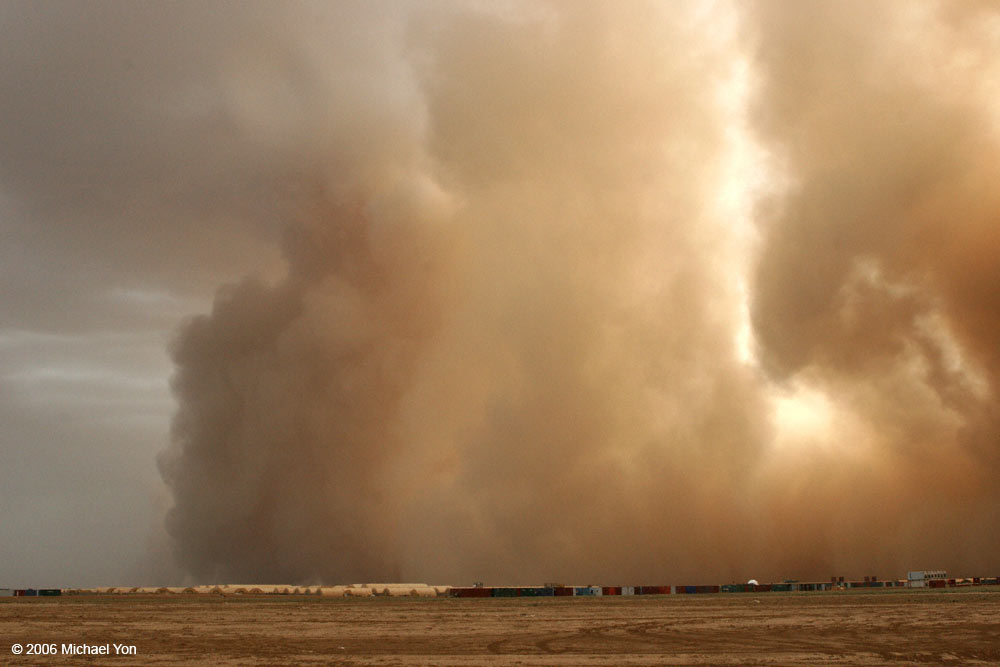
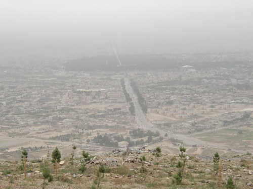
| Dust storm towering over small town in Afghanistan |
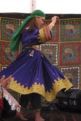
| Afghani dancer in traditional clothes |
| Helmand River |
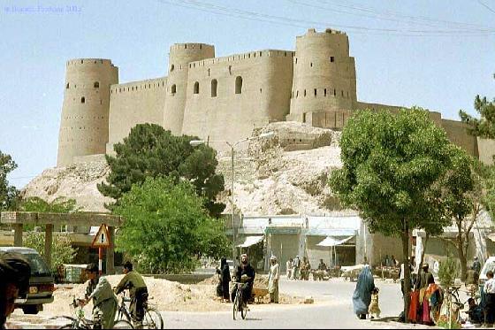
| Herat Fortress |
| Herat |
| Khyber Pass-on the border between Afghanistan and Pakistan |
| Tradtional Afghani Naan |
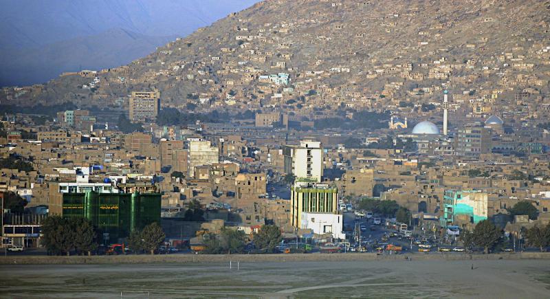
| Kabul- Afghanistan's capital and largest city |


| Abi's Home Page |
| Back to |
| NEWSPAPERS Khaama Press Wadsam Afghanistan Times |
AFGHANISTAN
Updated 27 February 2013
Updated 27 February 2013


| Adult Prevalence Rate: People Living with HIV/AIDS: HIV/AIDS Deaths: |
0.01% (2001 est.)
N/A
N/A
N/A
N/A


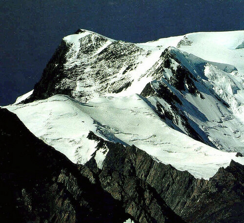
| Nowshak- Afghanistan's highest point |

| Afghani kids in traditional dress |

| Alborz Mountains along Afghanistan's border with Turkmenistan |
| Arghandab Valley near Kandahar |

| Near the Afghanistan-Uzbekistan Friendship Bridge |

| Gowd-e-Zereh Salt Pan- Afghanistan's southernmost point on the border with Pakistan |
| Road from Herat to Iran- Afghanistan's westernmost point |

| Blue Mosque at Mazar-e-Sharif |

| Mount Kongur on the China border- Afghanistan's easternmost point |

| Pamir Mountains along the border with Tajikistan- Afghanistan's northernmost point |
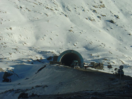
| Salang Tunnel which passes beneath the Hindu Kush Mountains |
Read about human rights in Pax
Gaea World Post Report!
Gaea World Post Report!