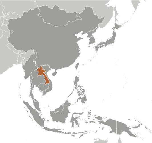
Lao People’s Democratic Republic is located in the southeast of the Asian Continent, with a population of 6,586,266,
making it the 102nd largest national population. Its capital and largest city is Vientiane with a total population of 754,000.
The country encompasses 236,800 square kilometers making it the 84th largest country in total area. It shares boundaries
with China, Vietnam, Cambodia, Thailand and Myanmar (Burma).
President Lt. Gen. Choummali Saignason is recognized as the Chief of State and, along with Vice President Boun-Gnang
Volachit, achieves that status through election by the National Assembly and holds that position for a single five-year term.
Prime Minister Thongsing Thammavong is recognized as the Head of Government and, along with First Deputy Prime
Minister Maj. Gen. Asang Laoli and Deputy Prime Ministers Maj. Gen. Douangchai Phichit, Somsavat Lengsavat and
Thongloun Sisoulit, achieves that status through nomination by the President and election by the National Assembly and
holds that position five years. Its form of government is a communist state, and they celebrate the creation of their
constitution on 14th August 1991.
The languages commonly or officially spoken are Lao, French and English. It counts among its major religions Buddhist,
animist, Christian and other and unspecified faiths. As sources of mass communication it has 7 AM, 14 FM, 2 Short Wave
and 7 Television stations.
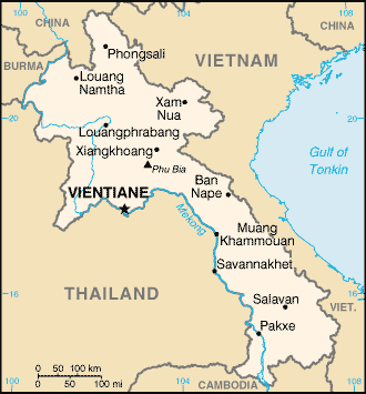
Major geographical features are Phou Bia, its highest point at 2,817 meters, and the Mekong River, its lowest point at 70
meters. Its principal waterway is the Mekong River and navigable portions of its tributaries, which measures 4,600
kilometers.
Major industries providing for the bulk of their Gross Domestic Product (GDP) are copper, tin, and gypsum mining;
timber, electric power, agricultural processing, construction, garments, tourism and cement. Its official currency is Lao
Kip.
Here’s something you may not know about Laos. Modern-day Laos has its roots in the ancient Lao kingdom of Lan Xang,
established in the 14th Century under King Fa Ngum. For three hundred years Lan Xang included large parts of present-day
Cambodia and Thailand, as well as all of what is now Laos.
making it the 102nd largest national population. Its capital and largest city is Vientiane with a total population of 754,000.
The country encompasses 236,800 square kilometers making it the 84th largest country in total area. It shares boundaries
with China, Vietnam, Cambodia, Thailand and Myanmar (Burma).
President Lt. Gen. Choummali Saignason is recognized as the Chief of State and, along with Vice President Boun-Gnang
Volachit, achieves that status through election by the National Assembly and holds that position for a single five-year term.
Prime Minister Thongsing Thammavong is recognized as the Head of Government and, along with First Deputy Prime
Minister Maj. Gen. Asang Laoli and Deputy Prime Ministers Maj. Gen. Douangchai Phichit, Somsavat Lengsavat and
Thongloun Sisoulit, achieves that status through nomination by the President and election by the National Assembly and
holds that position five years. Its form of government is a communist state, and they celebrate the creation of their
constitution on 14th August 1991.
The languages commonly or officially spoken are Lao, French and English. It counts among its major religions Buddhist,
animist, Christian and other and unspecified faiths. As sources of mass communication it has 7 AM, 14 FM, 2 Short Wave
and 7 Television stations.
Major geographical features are Phou Bia, its highest point at 2,817 meters, and the Mekong River, its lowest point at 70
meters. Its principal waterway is the Mekong River and navigable portions of its tributaries, which measures 4,600
kilometers.
Major industries providing for the bulk of their Gross Domestic Product (GDP) are copper, tin, and gypsum mining;
timber, electric power, agricultural processing, construction, garments, tourism and cement. Its official currency is Lao
Kip.
Here’s something you may not know about Laos. Modern-day Laos has its roots in the ancient Lao kingdom of Lan Xang,
established in the 14th Century under King Fa Ngum. For three hundred years Lan Xang included large parts of present-day
Cambodia and Thailand, as well as all of what is now Laos.
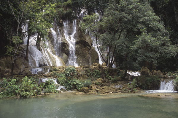
| Kuang Si Waterfall |
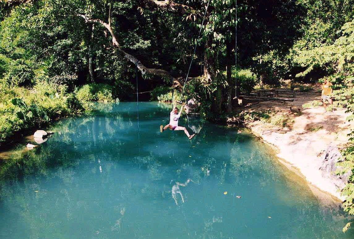
| Swimming hole in Vang Viang |
| Nam Song River in Vang Vieng with a limestone karst as a backdrop |
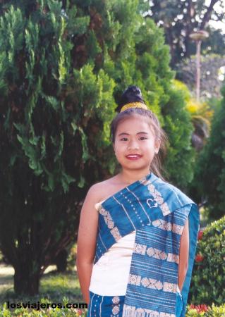
| Traditional Laotian clothing |
| Plain of Jars near Phonsavan in Xieng Khuang Province |


| Abi's Home Page |
| Back to |
LAOS
Updated 11 March 2013
Updated 11 March 2013


| Adult Prevalence Rate: People Living with HIV/AIDS: HIV/AIDS Deaths: |
0.2% (2009 est.)
8,500
less then 200
8,500
less then 200

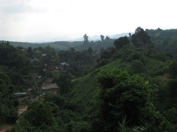
| Jungle in Central Laos |
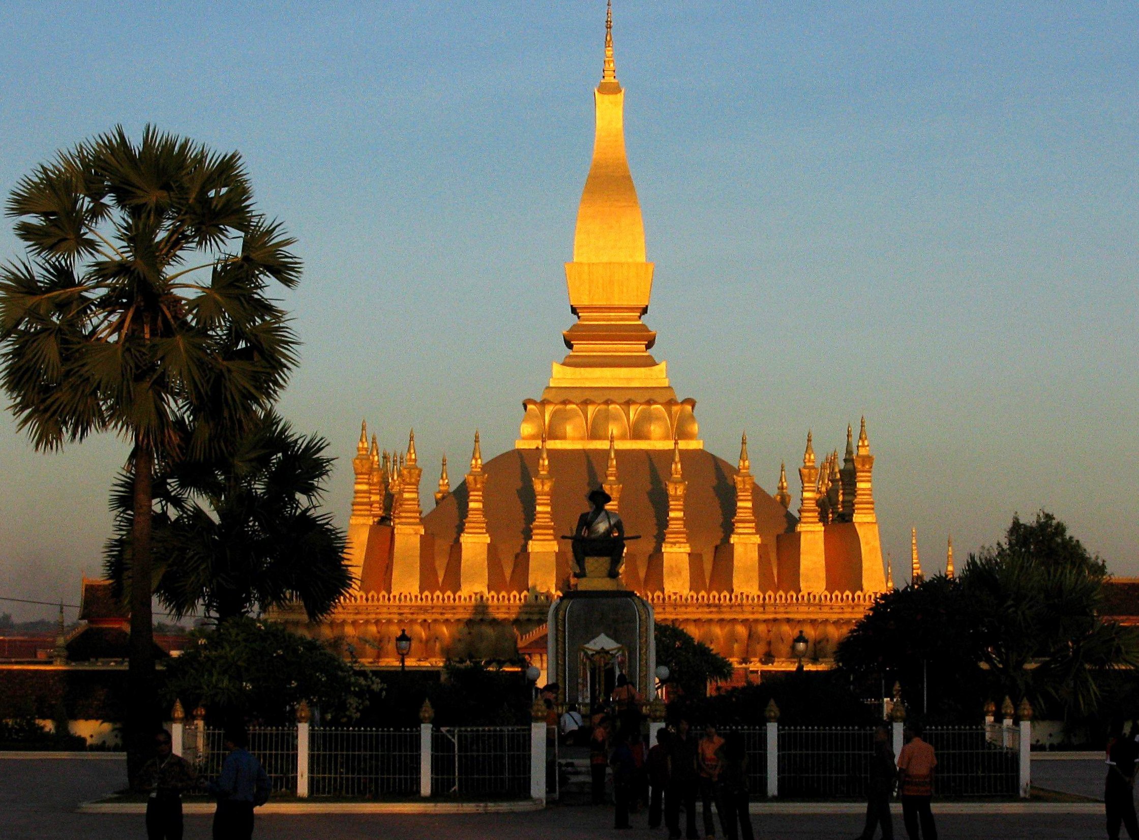
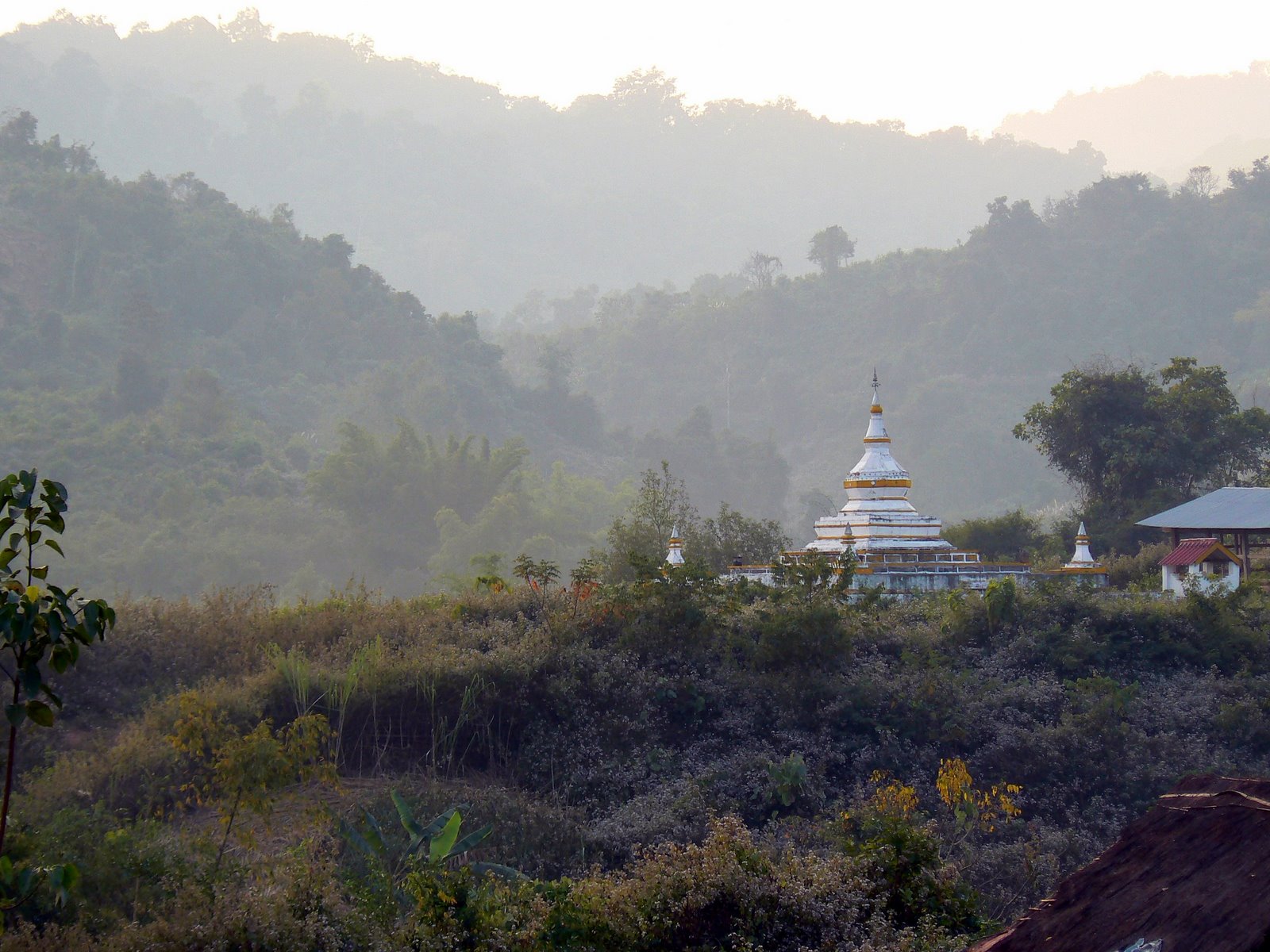
| Golden Stupa, Vientiane |
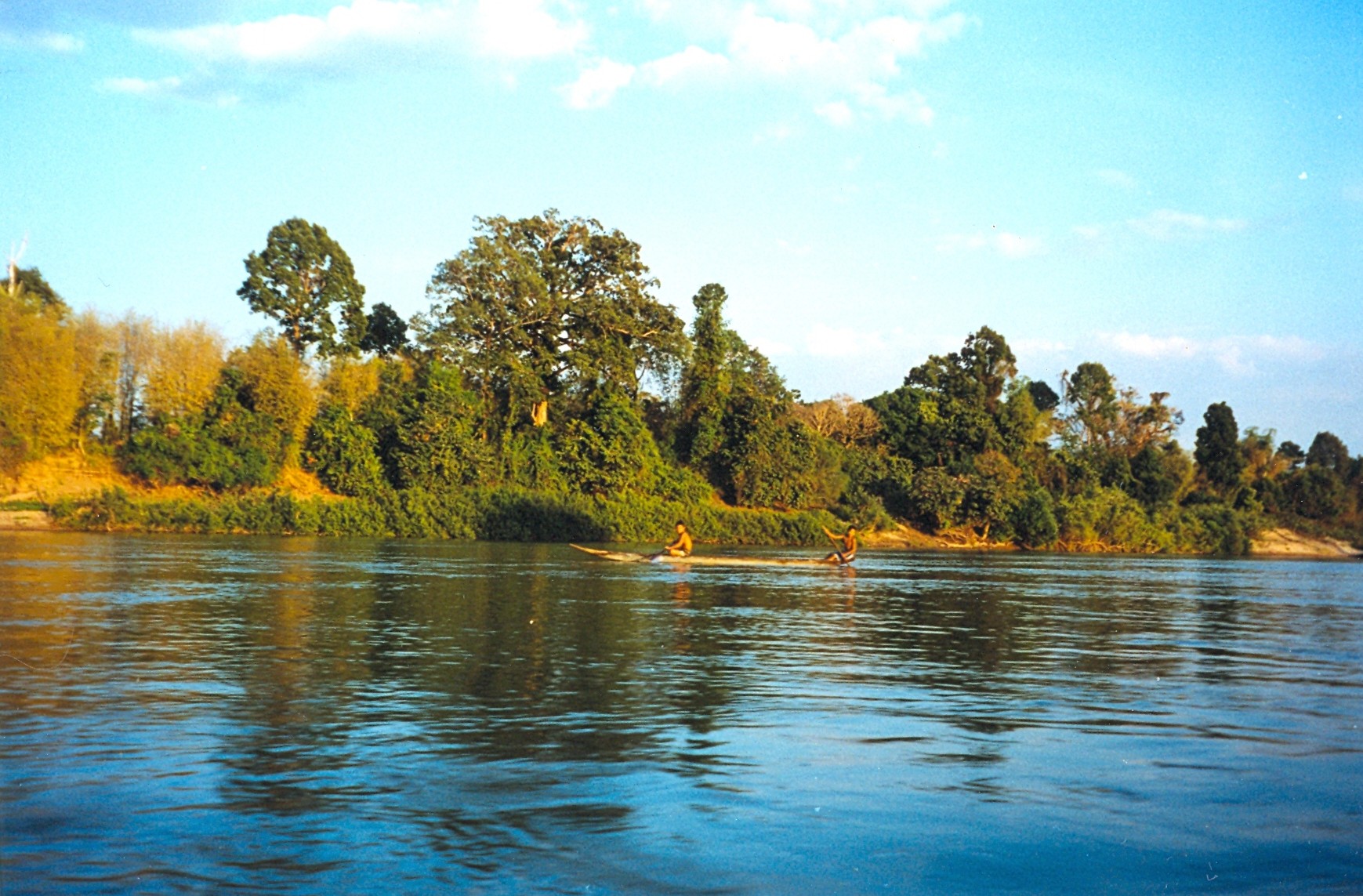
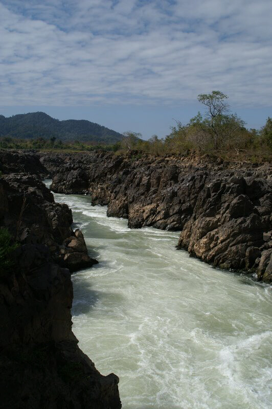
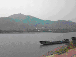
| Mekong River Delta- Laos' lowest point and principle waterway |
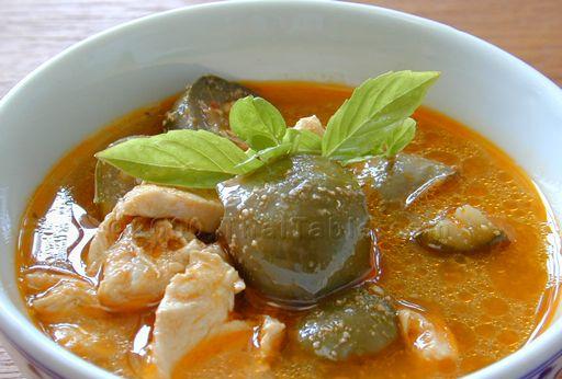
| Tradtional Laotian Yellow Curry dish made with potatoes, carrots, onions and peanuts |
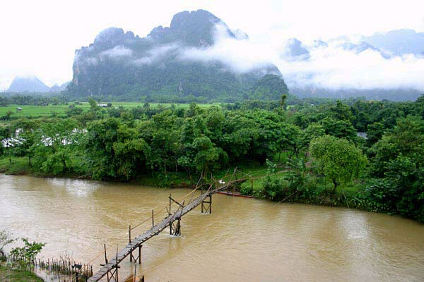
| Nong Khiaw River Bridge |
| Pakse |
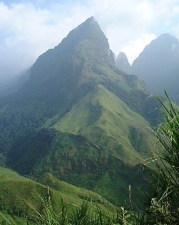
| Phou Bia -Laos' highest point |
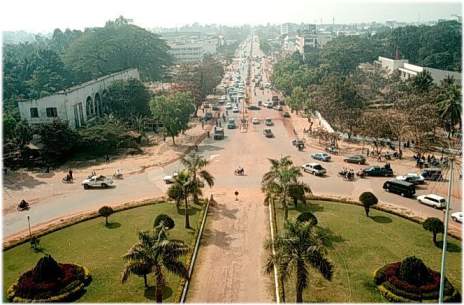
| Vientiane- Laos' capital and largest city |


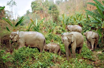
| Elephants crossing through Laos jungle |

| Attapeu Province- Laos' easternmost point on the border with Vietnam |
| Khone Phapheng- Cambodia's southernmost point on the border with Cambodia |
| Luang Nam Tha Province on Laos' border with Burma (Myanmar) |
| Ou Tai- Laos' northernmost point near the border with China |
| Savannakhet on Laos' border with Thailand across the Mekong River |
| Tonpheung- Laos' easternmost point on the tri-border with Thailand and Burma (Myanmar) |

Read about human rights in Pax
Gaea World Post Report!
Gaea World Post Report!