| TURKMENISTAN Updated 12 July 2012 |
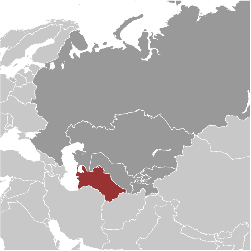
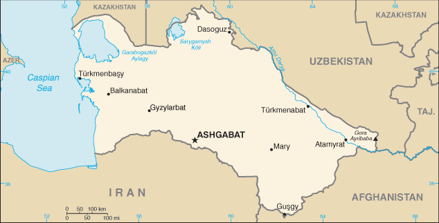
Turkmenistan is located in the western center of the Asian Continent, with a population of 5,054,828, making it the
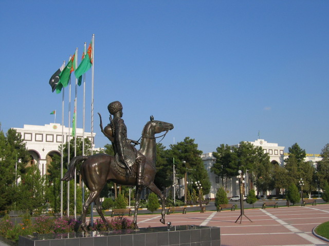
113th largest national population. Its capital and largest city is Ashgabat with a total population of 695,300. The
country encompasses 988,100 square kilometers making it the 52nd largest country in total area. It shares
boundaries with Uzbekistan, Afghanistan, Iran and Caspian Sea.
President Gurbanguly Berdimuhamedow is recognized as the Chief of State and Head of Government and achieves
that status through popular vote and holds that position for five years. Its form of government is a republic with an
authoritarian presidential rule with little power outside the executive branch and they celebrate the creation of their
constitution on 26 September 2008.
The languages commonly or officially spoken are Turkmen, Russian, Uzbek and other languages. It counts among
its major religions Muslim, Eastern Orthodox and other unspecified religions. As sources of mass communication it
has 16 AM, 18 FM, 2 Short Wave and 4 Television stations.
Major geographical features are Gora Ayribaba, its highest point at 3,139 meters and Vpadina Akchanaya, its lowest
point at –87 meters. Its principal waterways are Amu Darya River and Kara Kum Canal, which measure 1,300
kilometers.
Major industries providing for the bulk of their Gross Domestic Product (GDP) are natural gas, oil, petroleum
products, textiles and food processing. Its official currency is Turkmen Manat.
Here’s something you may not know about Turkmenistan. The capital city of Ashgabat’s Name translates into “The
City Of Lovers.”
| Ashgabat- Turkmenistan's capital and largest city |
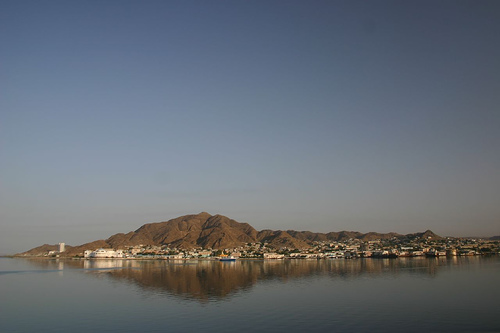
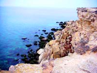
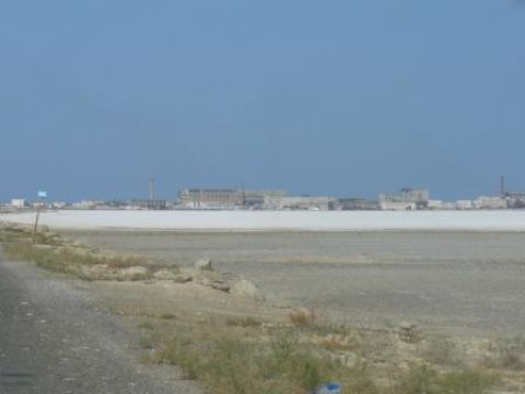
| Turkmenbasy on the Caspian Sea- Turkmenistan's lowest and westernmost point |
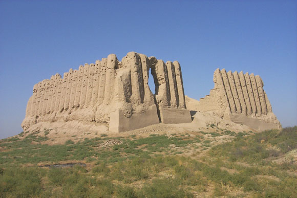
| The Great Kyz Kala |
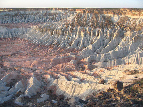
| Yangykaka Canyon |
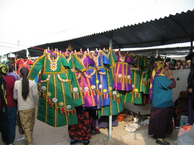
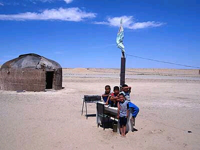
| Turkmen people and children's clothing |
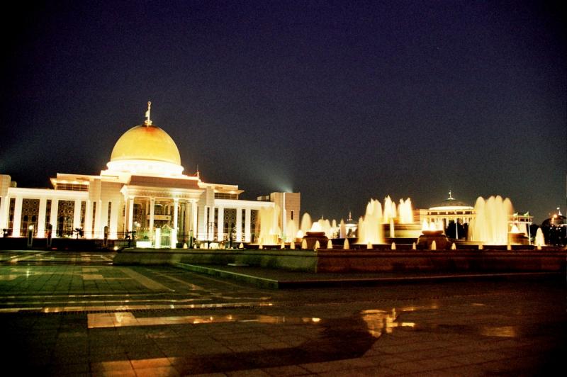
| The King's Palace |


| Abi's Home Page |
| Back to |
Read about human rights in my
Dad's World Post Report!
Dad's World Post Report!
| Vpadina Akchanaya- Turkmenistan's lowest point on the border with Uzbekistan |
| Gora Ayribaba- Turkmenistan's highest and easternmost point |
| Amu Darya River which feeds the Kara Kum Canal |


| Adult Prevalence Rate: People Living with HIV/AIDS: HIV/AIDS Deaths: |
less than 0.1%
less than 200
less than 100
less than 200
less than 100
| Gushgy- Turkmenistan's southernmost point on the border with Afghanistan |
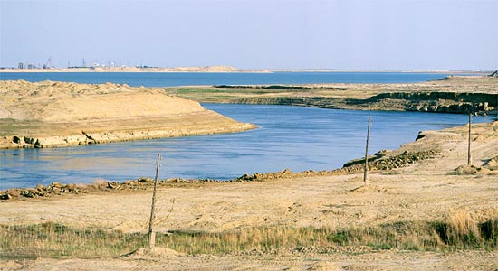
| Kara-Bogaz Gol- a below sea level lake in Turkmenistan |
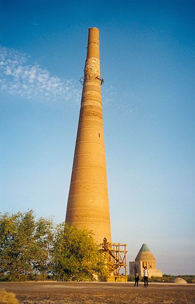
| Minaret in Konye Urgench- Turkmenistan's northernmost point on the border with Uzbekistan |
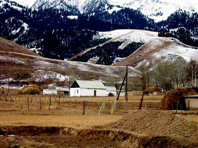
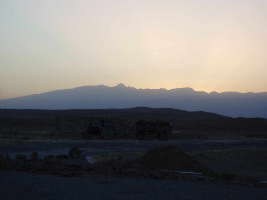
| Kopetdag Mountains on Turkmenistan's border with Iran |

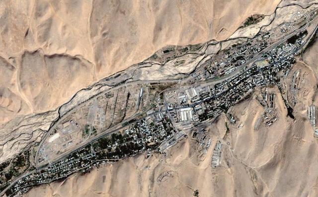
| Modern day Mary- the ancient Turkmenistan city of Merv |
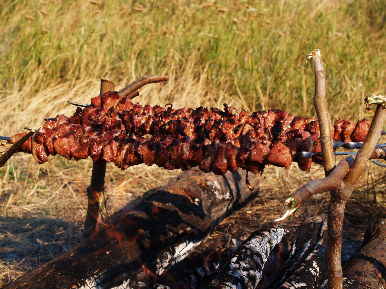
| Shashlik- a favorite Turkmenistan dish of skewered lamb chunks |

| Garagobaz- Turkmenistan's westernmost point on the Caspian Sea and the Kazakhstan border |